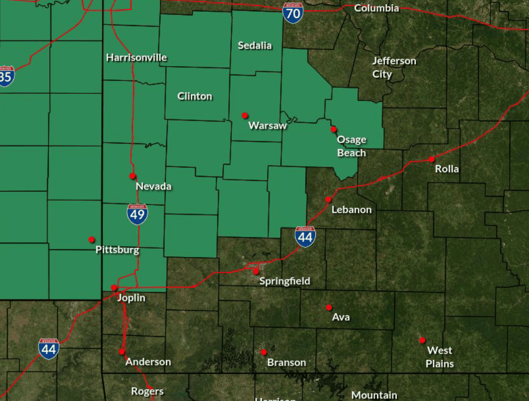
SPRINGFIELD, Mo. — Several rounds of showers and thunderstorms are expected to move through the Carthage area beginning late Tuesday night and continuing through Thursday, bringing the potential for flash flooding and isolated severe weather.
The National Weather Service in Springfield has issued a Flood Watch for Jasper County from 10 p.m. Tuesday through 7 p.m. Thursday. Forecasters expect 2 to 4 inches of rain across the watch area, with localized totals reaching 5 inches.
The timing and intensity of the storms will vary, and residents should not assume that a break in the rain means the threat has passed.

Storms could arrive before daybreak Wednesday
The first round of showers and thunderstorms is expected to move into eastern Kansas and west-central Missouri late Tuesday night.
The National Weather Service said the exact arrival time remains uncertain, but confidence increases after approximately 4 a.m. Wednesday. Storms are expected to continue through the morning, with rain potentially lingering into early afternoon.
The storms will not necessarily produce continuous rainfall. Instead, the region could experience periods of rain and thunderstorms separated by breaks, followed by additional rounds later in the day and overnight.
That repeated activity is important because storms moving over the same locations can quickly increase rainfall totals and raise the risk of flash flooding.
Although heavy rainfall is the primary concern, some storms could become strong to severe overnight Tuesday into early Wednesday morning. The primary severe weather threat will be damaging wind gusts of up to 60 mph.
The weather service has placed portions of the region north of Interstate 44 under a marginal risk for severe storms, a Level 1 on the five-level risk scale.
Additional storms possible Wednesday and Thursday
The threat will not end when the initial round moves through Wednesday morning.
Additional showers and thunderstorms are expected Wednesday, with rain continuing intermittently into Thursday. Forecasters expect the system to gradually weaken, with rainfall tapering off late Thursday night.
Another period of isolated severe weather is possible Wednesday evening into early Thursday morning. The National Weather Service has outlined a marginal to slight risk across parts of southern Missouri, with the slight risk extending into far southwest Missouri.
Damaging wind gusts up to 60 mph remain the primary concern during this second period of potential severe weather.
Forecasters also have identified a low-end possibility of a brief tornado in far southwest Missouri Wednesday evening into early Thursday morning. Confidence in that possibility remains low.
The weather service cautions that the presence of favorable conditions does not mean severe storms are inevitable. Forecasters expect that most storms will not become severe.
Flash flooding remains a concern
The amount of rain that falls in a short period could be just as important as the overall storm total.
The National Weather Service said the incoming weather system could produce efficient rainfall, particularly if thunderstorms repeatedly move over the same locations. Such a pattern could cause water to accumulate rapidly, even between periods of heavier rain.
The highest forecast rainfall totals are concentrated north of Interstate 44, within the Flood Watch area. Forecasters expect 2 to 4 inches of rain there, with isolated amounts near 5 inches possible. Amounts outside the watch area are expected to be lower, generally ranging from one-half inch to 1.5 inches.
Flooding could affect creeks, streams, other low-lying locations, urban areas and places with poor drainage. Low-water crossings could also become flooded.
Because some of the heaviest rainfall could occur overnight, motorists should use particular caution when traveling in dark or stormy conditions.
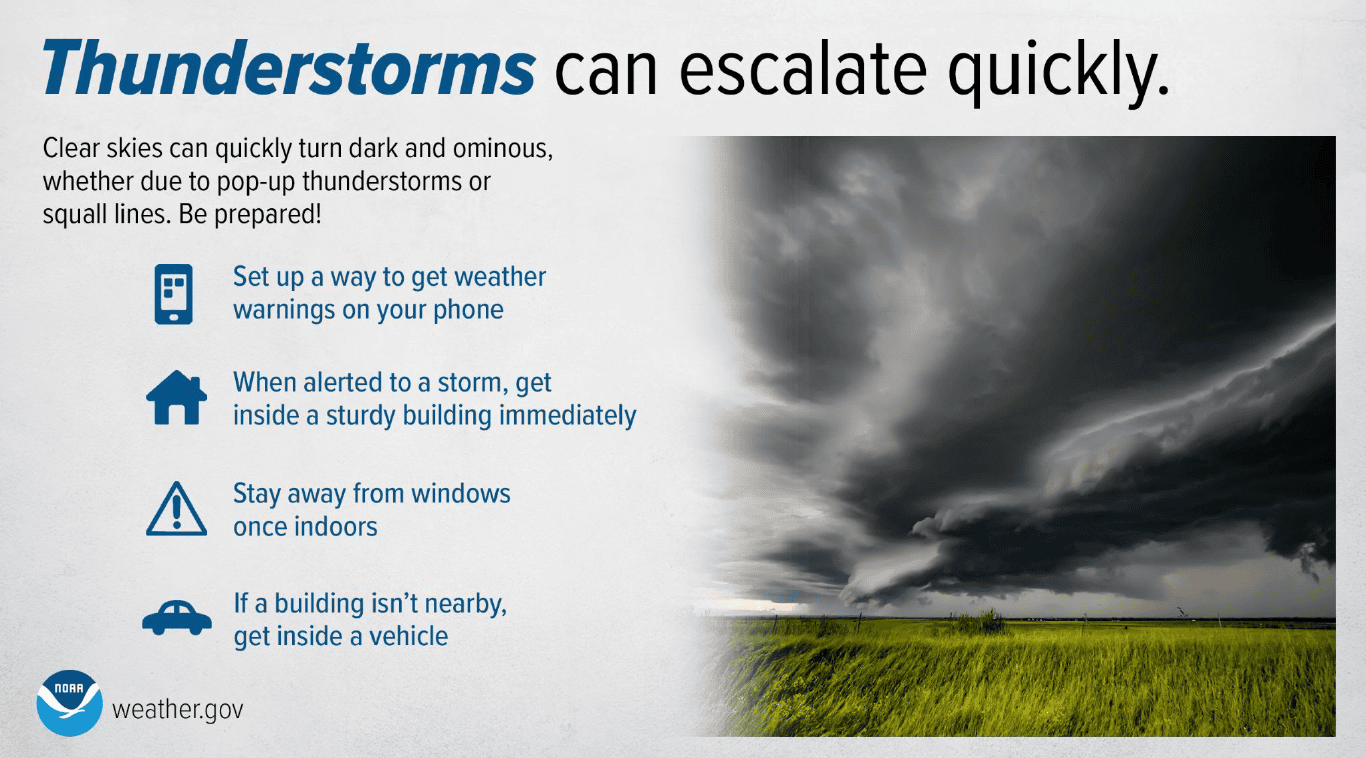
The National Weather Service advises residents to monitor updated forecasts and remain alert for possible Flood Warnings. Anyone encountering a flooded roadway should turn around rather than attempt to drive through the water.
Residents can find updated conditions and alerts through the National Weather Service Springfield office.